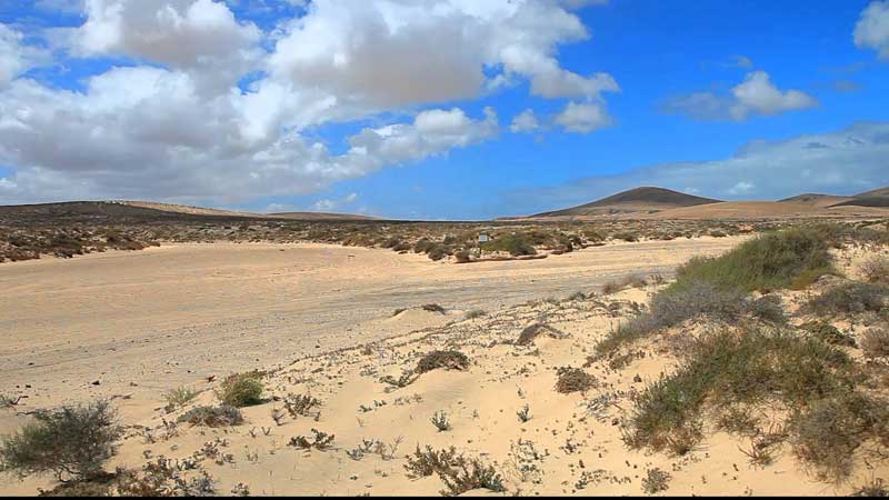


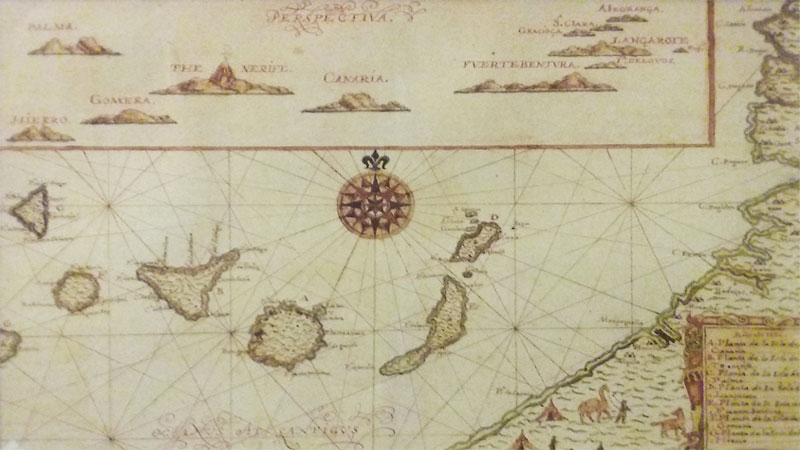


Fuerteventura is about 20 million years old and is the oldest formation of all Canary Islands. It is geographically twinned with Lanzarote as both are on the same plateau with only 40-50 metres of sea depth between them.
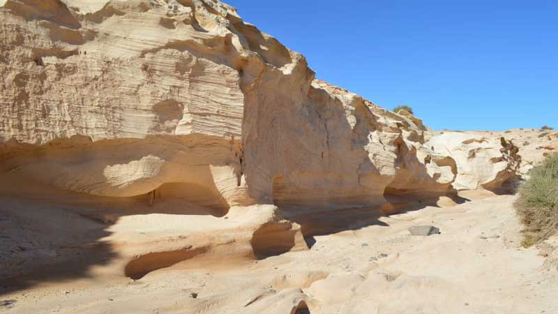
Fuerteventura, like all other Canary Islands, is of volcanic origin. The first eruptions were well below sea level and the formations were subsequently pushed up. These early eruptions show the typical gentle slopes of the Betancuria Massif. Later eruptions – above sea level – have the traditional “volcano-like” shapes. The latest eruption on Fuerteventura was in what is now La Oliva, about 5.000 years ago.
The first inhabitants of Fuerteventura are believed to be of North African origin but, according to recent genetic research, there were several immigrations of at least three types of human races. Significant exploration of the island began in the 15th century with Jean de Bethancourt and Gadifer de la Salle.
Fuerteventura – at that time only the North – was developed for tourism as from the early 1970´s. The South followed about 10 years later.